![]()
Production of a high resolution 3D imaging Chirp sub-bottom profiler
Main Investigators: JM Bull (PI), JK Dix, T Henstock, TG Leighton, PR White
Student: M Gutowski Industrial consultant: P Hogarth (GeoAcoustics Ltd.)
Funded by: EPSRC and dstl (Joint Grant Scheme), GeoAcoustics Ltd. (Great Yarmouth), English Heritage
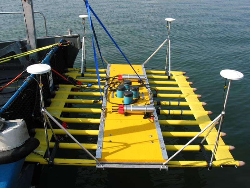
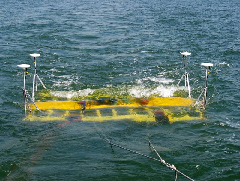
Aim The aim was to design and produce a surface-towed demonstration prototype which will provide high-resolution (~5 cm) 3D sub-bottom maps of the ocean sediment up to a depth of 20 m. The device will be tested at sea on a geological site (2003) and an archaeological site (2004). This project shows the potential which such a device might offer if mounted on a more sophisticated platform: a fleet of autonomous underwater vehicles equipped with these devices could fly a pre-programmed path beneath the sea and map harbours or site of specific interest (geological, archeological) for small (~10 cm) objects buried in the seabed.
Click here to link to the complementary web pages set up up Dr Bull.
Click here to see movies of the deployment
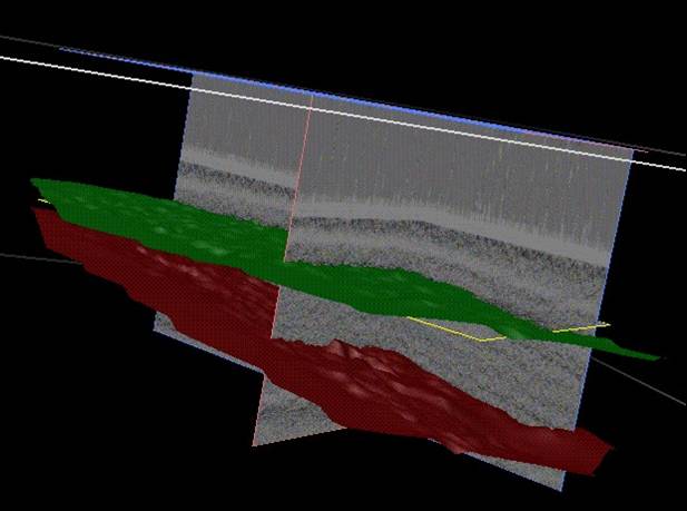
Results Geophysical and archaeological datasets have been taken. The geophysical findings are described here. This page will however concentrate on an archaeological expedition.
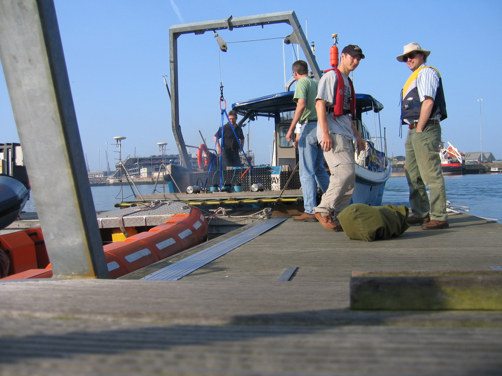
The Invincible: The world's first 3D sonar maps of a wreck buried under the seabed. The Invincible was French ship which was captured by the British. She was re-fitted and about to go into battle against the French when, in 1757, she ran aground as it was being taken back to Portsmouth. Despite effort to lighten her by removing the cannons and even the masts, she could not be re-floated, and sank in subsequent storms. We have taken the data (see Gallery, below) from which we will produce the world's first 3D sonar maps of a wreck buried in the seabed. Those data are currently being processed, and we will put the resulting maps on the internet when they are completed (scheduled for November 2004).
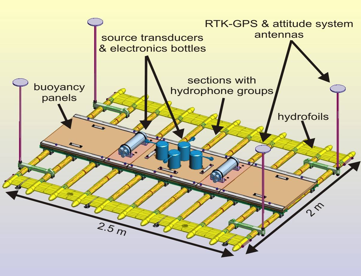
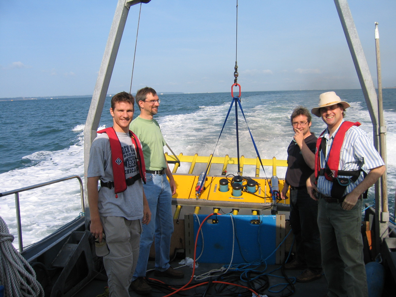
Specifications for prototype
|
Source: |
• Receiver: |
|
|
Chirp transducer array (4 transducers) Mean chirp source frequency ~ 4-7 kHz |
60 hydrophone groups, 25 cm separation |
•RTK-GPS & attitude centimetre accuracy in horizontal and vertical directions |
Gallery: see below
•
 |
 |
 |
 |
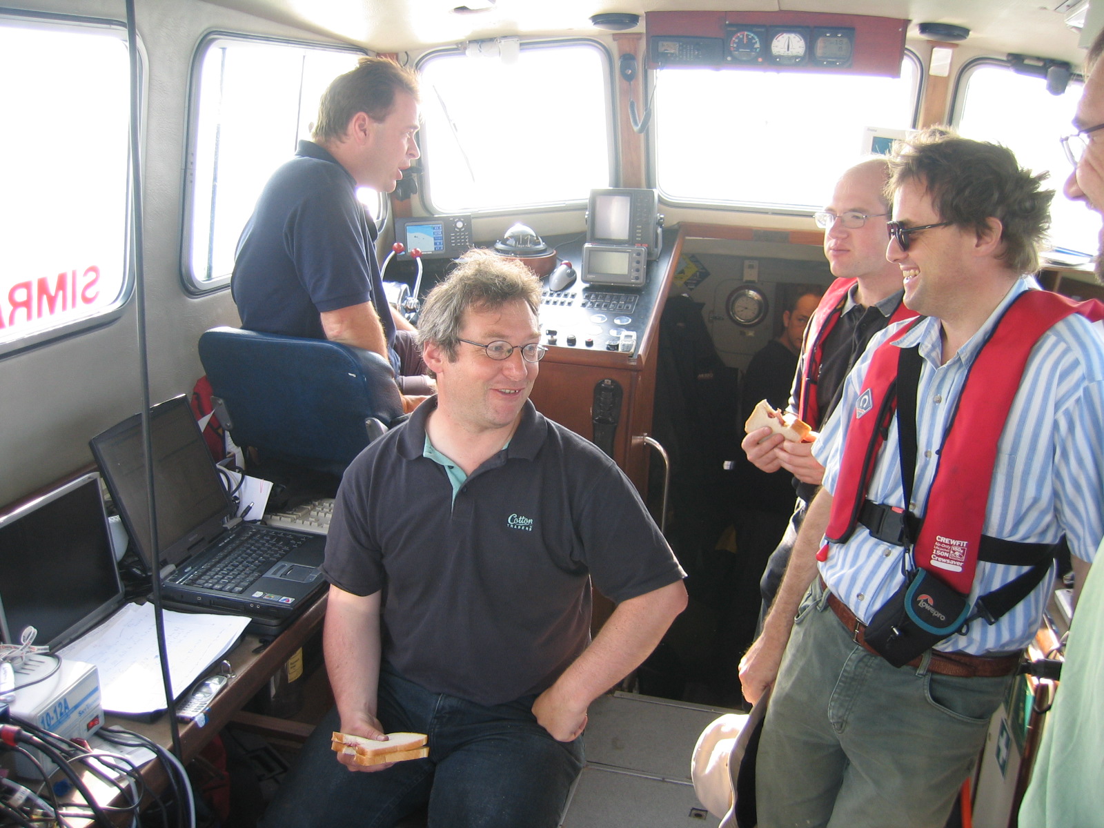
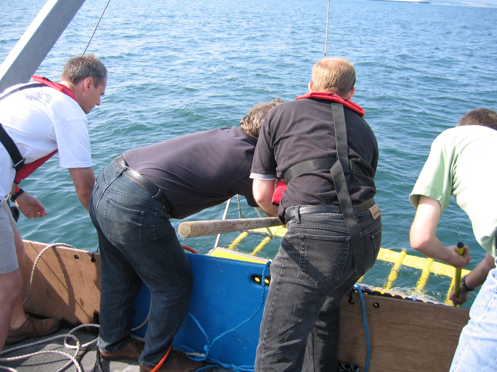
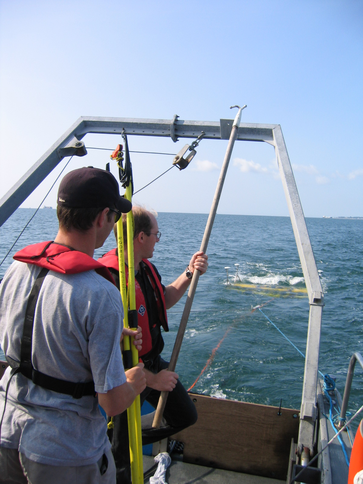
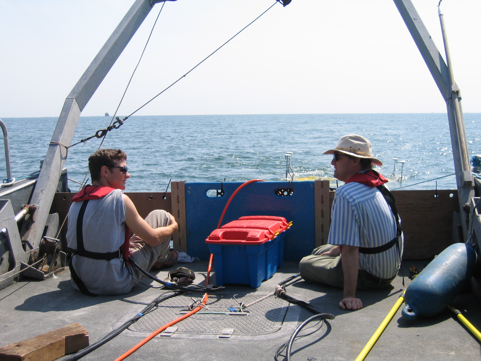
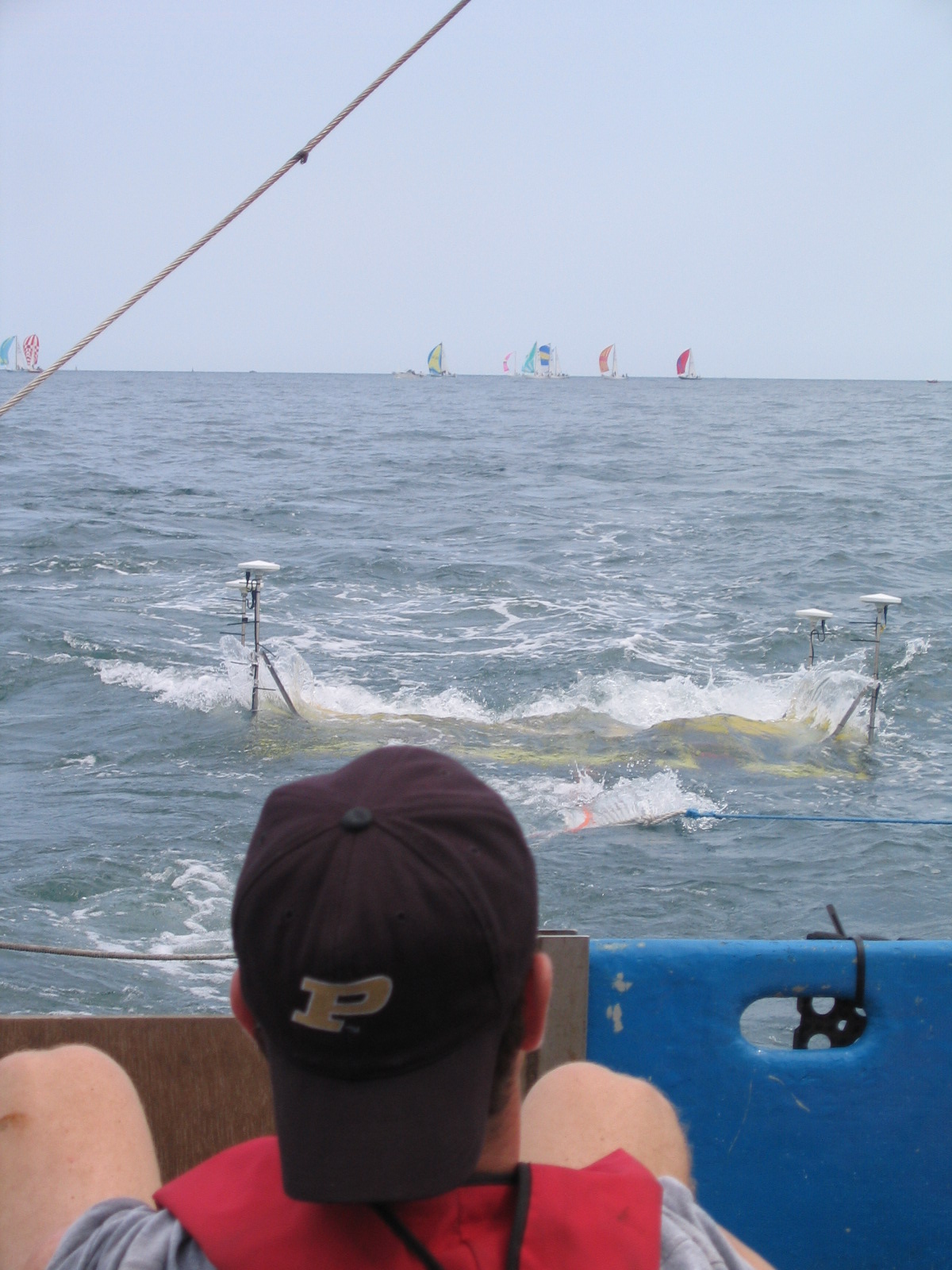
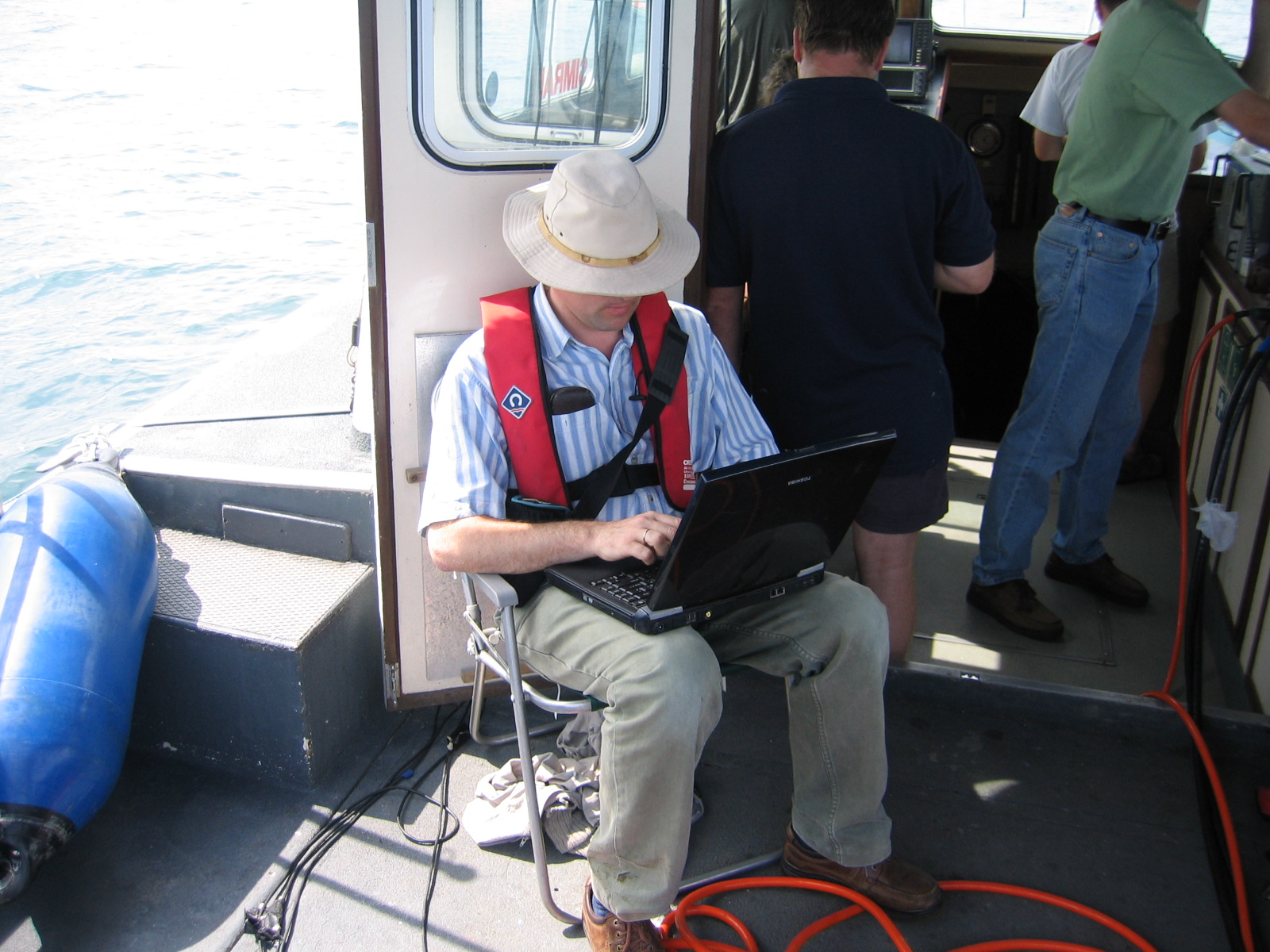
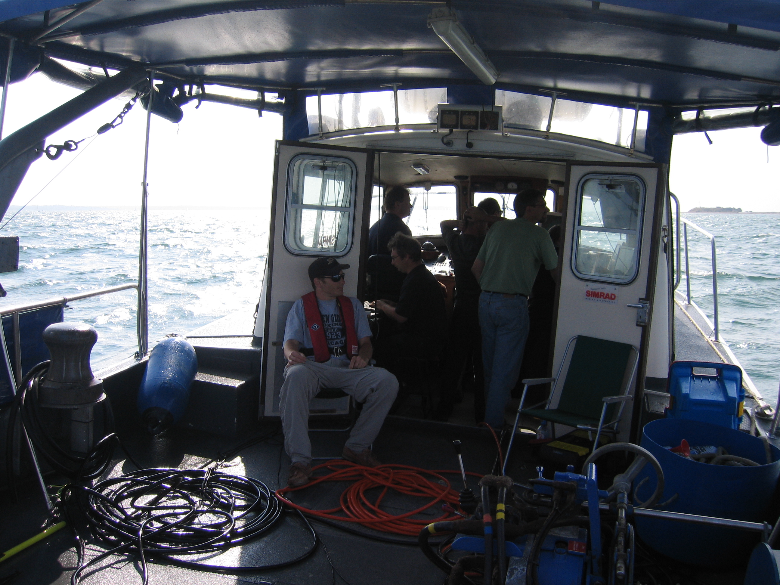
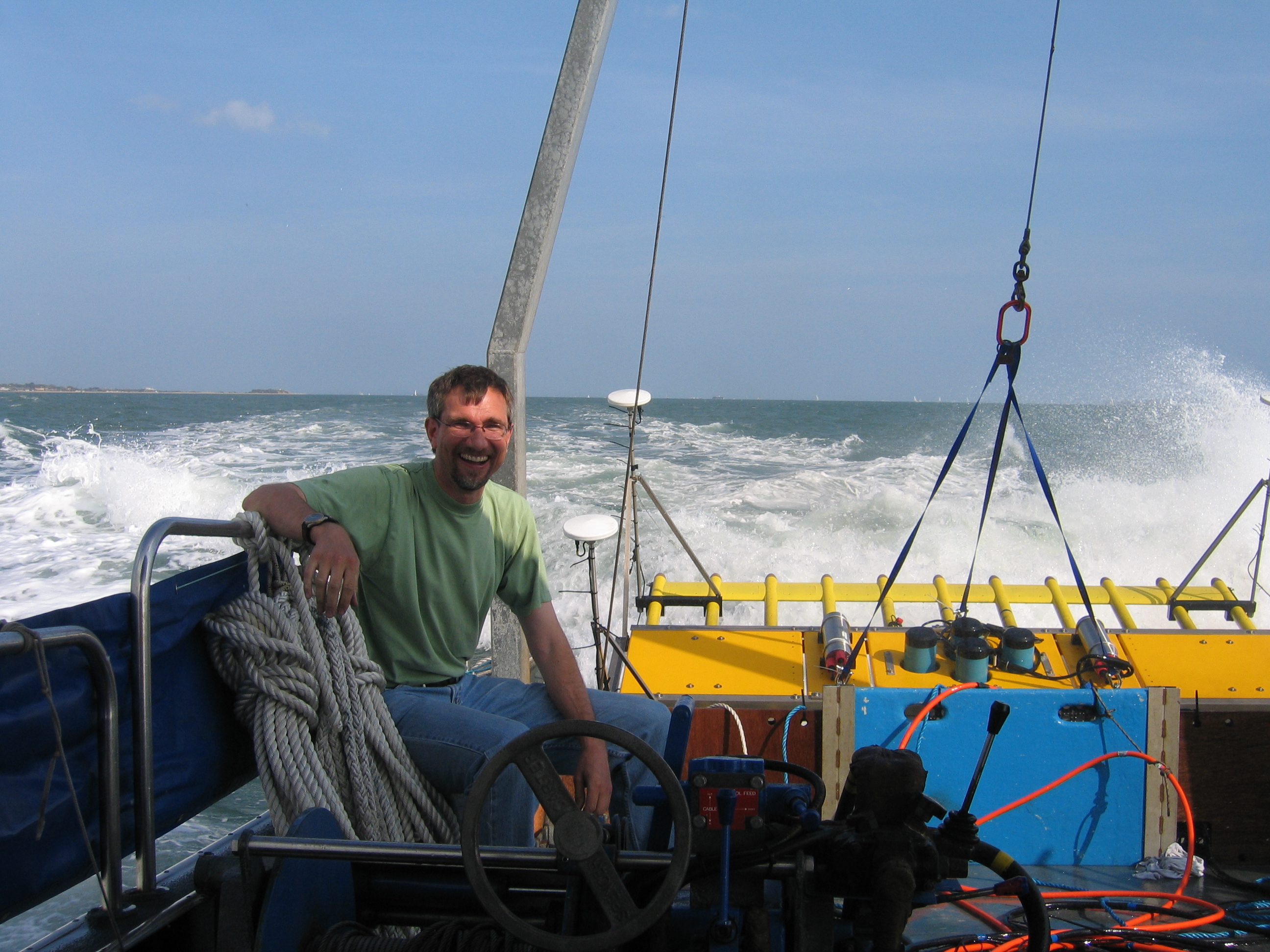
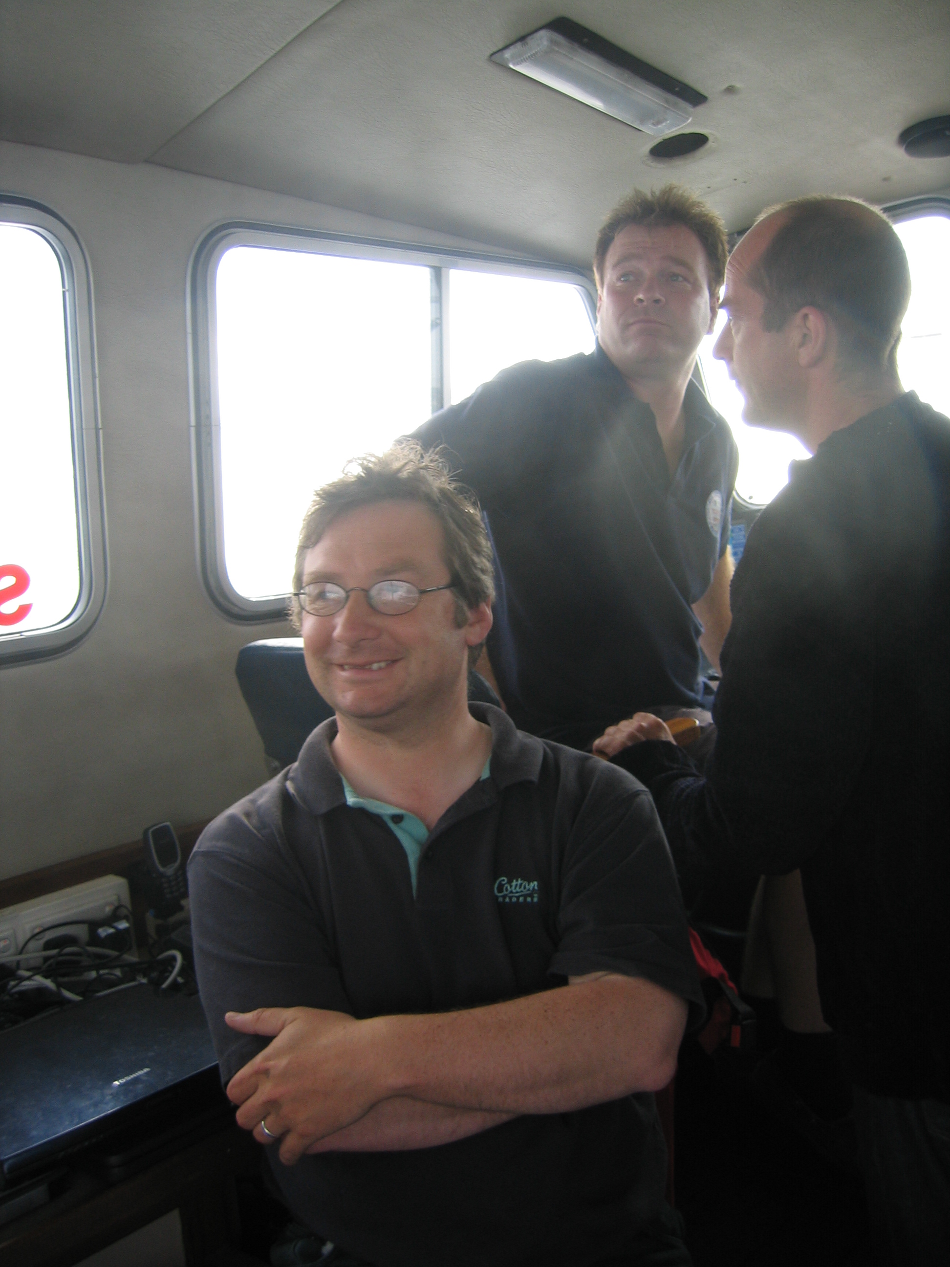
The following pictures were taken on 24 July 2004 during survey of the Invincible (see above for details of this wreck).
Page last updated by TG Leighton, August 25, 2004.